Drought Resources
Drought in Missouri
Drought impacts at least some parts of Missouri almost every year. In extreme years, drought stresses millions of acres, animals and people in Missouri. Be sure to look at our University of Missouri Extension drought stories and resources on the MU IPM page, updated regularly.
Contact your local Extension specialists for assistance with drought decisions on your farm.
Missouri Drought Monitor Map
The Missouri drought monitor map is updated weekly to show which areas of the state fall into a category of drought. The map changes based on reports from landowners and residents, so the accuracy of the map is dependent on your reports. Report drought conditions in your area. Each drought category is defined by certain criteria from the United States Drought Monitor.
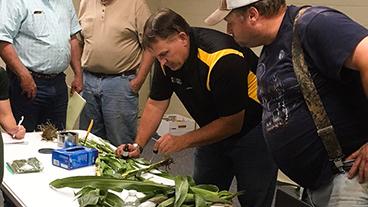
MU Extension Specialists encourage cattle producers to take these Top 5 actions now to deal with the current drought.
Find current and historical local climate information to assist with effective planning and management of state agriculture, industry, and natural resources.
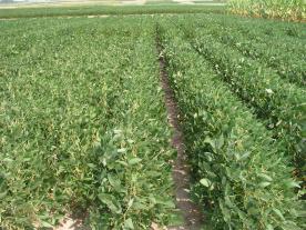
Drought damaged feed and forage
A drought can cause dangerous nitrate concentrations that may be great enough to harm plants or animals.
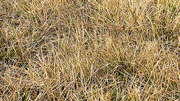
Drought causes high levels of nitrates in forage and crops used for silage and baleage.
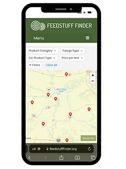
The go-to platform for buying and selling feed in Missouri.
A new mobile-friendly online platform built for farmers and FREE to use for both sellers and buyers.
Sign up to list feedstuffs for sale, including hay, silage or co-products.
News
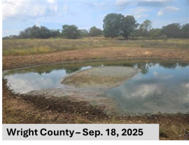
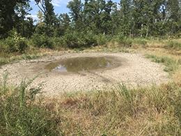
When fields stay wet
Published