-
Image
COLUMBIA, Mo. – Understanding your land’s geological features, terrain and climate is crucial for anticipating and responding to natural disasters, says University of Missouri Extension assistant professor Ryan Milhollin. “A little planning and knowledge about your land can significantly enhance disaster resilience,” Milhollin says.
MU Extension offers a free web-based tool to learn about soils and their productivity, flood hazards, karst geology, streams, wetlands, climate, watershed and more from a defined parcel of land. Milhollin says it is routinely used by potential landowners, farmers, bankers and real estate appraisers to understand the quality of land in all 50 states.
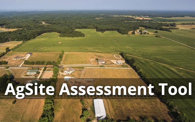
The AgSite Assessment Tool lets users make an outline of a property on a computer, tablet or phone and run a report to help predict flood behavior and plan evacuation routes, he says.
“Having a predetermined escape route and communication plan for family members can go a long way in emergency response,” he adds.
The flood hazards table in AgSite shows the number of acres that fall within a floodway, 100-year floodplain and 500-year floodplain. An aerial map shows hazards on your defined property, including possible flood hazards according to the Federal Emergency Management Agency (FEMA).
In addition to providing information for current property owners, the tool can help prospective landowners learn more about land before buying, including information such as productivity, hydrological characteristics and environmental concerns. The tool also lists threatened or endangered species that might be on a piece of property.
A climate summary from nearby weather stations shows monthly normal precipitation, high/average/low temperatures and wind direction. The AgSite Assessment Tool draws data from numerous sources, including the U.S. Census Bureau, U.S. Geological Survey, U.S. Fish and Wildlife Service, U.S. Department of Agriculture and the National Oceanic and Atmospheric Administration.
AgSite is an educational product of the University of Missouri and funded in part by USDA. The University of Missouri is not responsible for decisions made because of information on the AgSite report.